The Digital Forest
Forests for the Future, Episode 10. How technology is changing forestry: GIS, drones, LiDAR, digital twins, artificial intelligence, and the future of sustainable forest management.
Seeing the whole estate
GIS put every compartment, road, stream and species boundary onto one map. Before that, most of a forest lived in filing cabinets and in the heads of the people who had walked it.
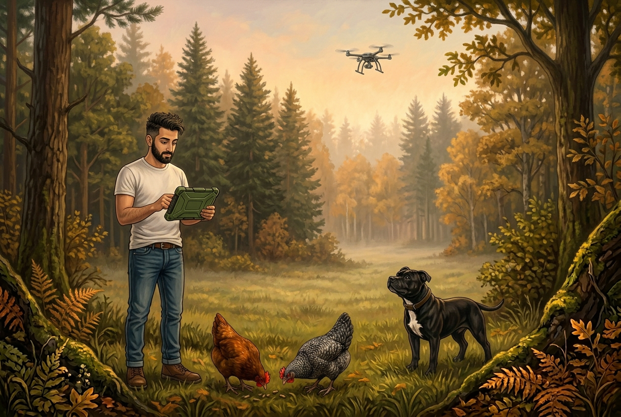
Drones and LiDAR go further. A LiDAR flight can measure tree heights, canopy structure and ground level under the trees, and produce a stem count across a hillside that would take weeks to survey on foot.
A forest is still measured by walking into it. Everything else just remembers what was found.
Digital twins and AI
A digital twin is a working model of a real forest, kept up to date with survey and harvesting data, so a thinning or a storm can be tested on screen before anything is done on the ground.
Machine learning is being used to spot disease from the air, predict windthrow risk, and read satellite imagery for change. It is good at noticing patterns across thousands of hectares. It is no good at all at judgement.
Records that outlive people
The real gain is memory. Forestry decisions run longer than careers, and the reason behind a choice made in 1990 is usually lost. Digital management platforms, MyForestPass among them, exist so the record travels with the forest: what was planted, why, what was seen, what was harvested, what is certified.
Technology has not changed what a forest needs. It has made it much harder to forget.
The drone comes home. Jay still walks the ride to see what the ground is doing.