Maps That Know the Ground
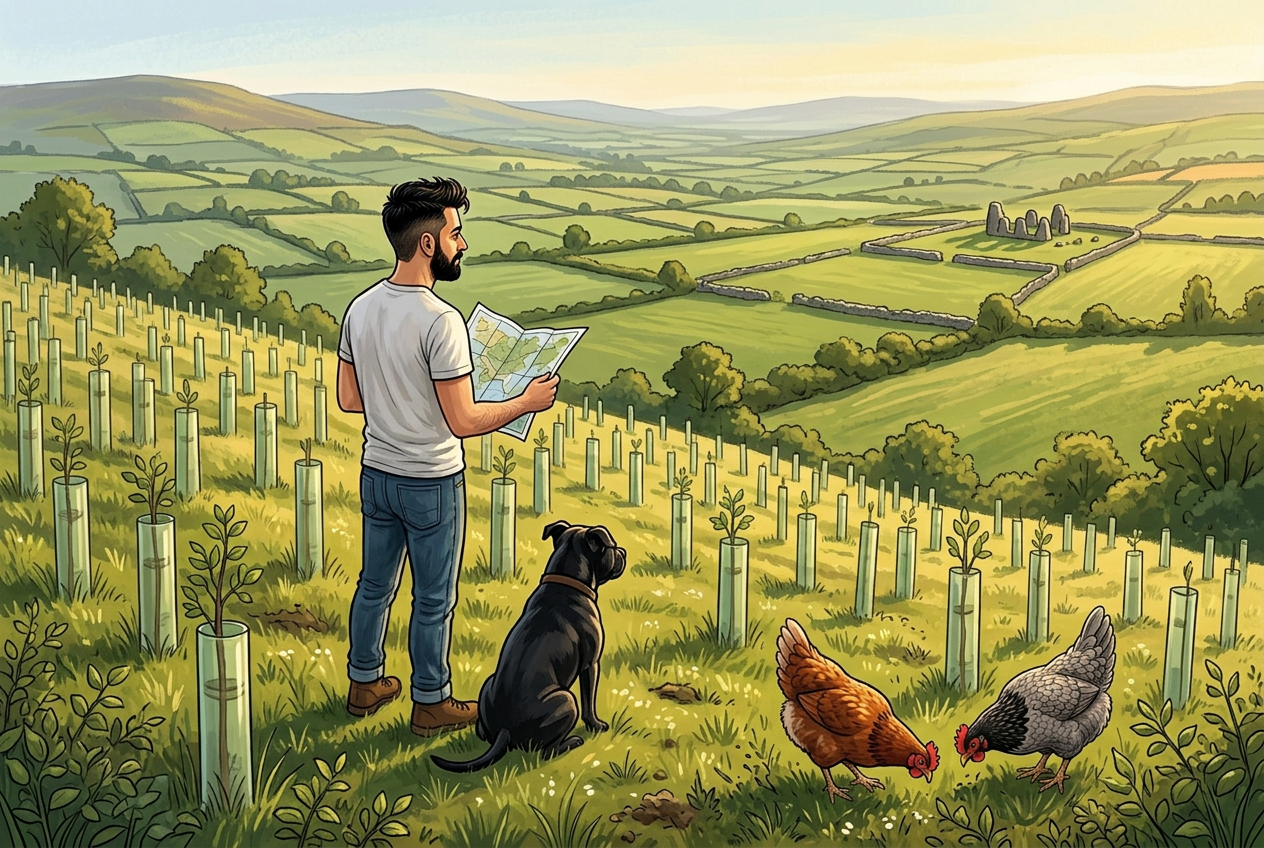
Digital mapping has not replaced walking the woods. It has made the walk count for more.
What changed
Woodland records used to live in a folder, a filing cabinet and one person's head. When that person retired, a great deal of knowledge went with them.
Mapping systems keep it instead: species and planting year by parcel, soil and drainage, watercourse buffers, habitat trees, access routes, felling licences and the date of every operation.
You still have to stand in the rain. You just no longer have to remember everything.
What it is good for
Planning a thinning without guessing at areas. Showing where a stream buffer actually runs before a machine arrives. Proving what was done, when, and why, which is increasingly what certification and grant schemes require.
It is also simply useful to a woodland owner who wants to know what they have. A surprising number do not, through no fault of their own.
What it will never do
No map tells you that a stand smells wrong, or that the wind has changed direction on a slope, or that the deer have come back. The ground still has the final say.
Tools like MyForestPass exist to carry the record-keeping, so the person on the site can spend their attention on the trees rather than the paperwork.
Good data does not manage a forest. It just means nothing is quietly forgotten.